Day 065: Atlantic Ocean

Day 065: The Atlantic Ocean
Weather: 20ºC wind 15kts, waves 3-4m
Last Port: Torshavn, Faroe Islands
Next Port: New York City, USA
Status: At Sea

From the Navigator
Throughout today we will maintain a west south westerly course as we continue our passage to New York and proceed down the coast of Newfoundland and Nova Scotia.

Categories: Segment 3 | Comments Off on Day 065: Atlantic Ocean

Day 064: Atlantic Ocean

Day 064: The Atlantic Ocean
Weather: 17ºC wind 15kts, waves 4-5m
Last Port: Torshavn, Faroe Islands
Next Port: New York City, USA
Status: At Sea

From the Navigator
Throughout the morning we will continue on our south westerly course across the North Atlantic and later we will alter our course to the west south west as we pass 14 nautical miles north of the site of the Titanic. We will continue on a west south westerly course as we pass south of the Grand Banks of the coast of Newfoundland.

Categories: Segment 3 | Comments Off on Day 064: Atlantic Ocean

Day 063: Atlantic Ocean

Day 063: The Atlantic Ocean
Weather: 15ºC wind 20kts, waves 4m
Last Port: Torshavn, Faroe Islands
Next Port: New York City, USA
Status: At Sea

From the Navigator
We will continue on our transatlantic crossing throughout today maintaining a south westerly course. Transatlantic travel played a major role in the expansion of western civilization into the Americas, and the Atlantic separates the “Old World” from the “New World”. In modern times, the Atlantic is referred to as the Pond and many British people refer to the US and Canada as “across the pond”, and vice versa.

All our courses are drawn in advance on our electronic and paper charts by the ship’s navigator, an one of the main duties of the Officer of the Watch on the bridge is to make sure that the ship is following these tracks. A nautical chart is a representation on a plane of an area of a spherical surface, the Earth, for use for navigational purposes In general terms, two types of charts are produced for navigational use: Mercator charts (on which rhumb line courses appear as straight lines) and gnomonic charts (on which great circles appear as straight lines). A chart is essentially a map of sea area, showing on it any coastlines, rocks, buoys, lighthouses and other prominent features, the characteristics of all lights and depths of water. On board the ship we have over 700 paper charts covering the regions around the world where the ship is sailing.

Categories: Segment 3 | Comments Off on Day 063: Atlantic Ocean

Day 062: Atlantic Ocean

Day 062: The Atlantic Ocean
Weather: 14ºC wind 25kts, waves 2m
Last Port: Torshavn, Faroe Islands
Next Port: New York City, USA
Status: At Sea

From the Navigator
We will continue on a south westerly course throughout today as we continue across the Atlantic Ocean. The Atlantic Ocean is named after the Greek mythical god Atlas making the Atlantic the “Sea of Atlas”.

Categories: Segment 3 | Comments Off on Day 062: Atlantic Ocean

Day 061: Atlantic Ocean

Day 061: The Atlantic Ocean
Position: N 57º 08′ 26″ W 019º 25′ 17″
Weather: 12ºC wind southwest 35kts, waves 8m
Last Port: Torshavn, Faroe Islands
Next Port: New York City, USA
Status: At Sea

From the Navigator
Throughout today we will maintain a south south westerly course out into the North Atlantic Ocean. This evening we will alter to a south westerly course as we continue our crossing. The Atlantic Ocean is the second largest of the world’s oceans and covers a total area of about 106,400,000 square kilometers and covers approximately 20% of the earth’s surface.

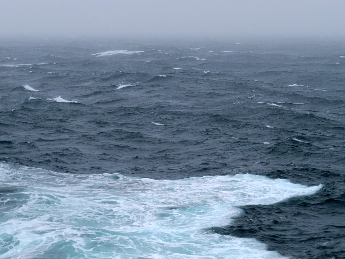
The waves had really picked up by the afternoon. Salt spray was everywhere, kicked up by the ship’s movement through the waves. You know the weather is getting rough when the wave crests are blown clear. Despite seas on the beam the ship is riding fairly well tonight.

Of course we had to take a jaunt about the weather decks. The crew had blocked off the exterior doors on the dry side and left those on the wet side open. Not sure the reasoning behind that idea, since the wet (open) side seemed much more dangerous.

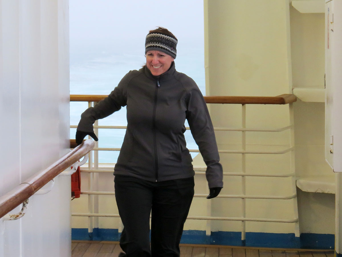
The age-old adage is “one hand for yourself, one hand for the ship”. Michelle thoroughly enjoyed herself watching the waves, hearing the pounding surf, and trying to stay upright.

Like trying to photograph a rainbow getting a good picture of waves at sea is a challenge. This picture was taken looking directly off the port beam, on a 270º relative bearing. Normally waves come in sets of threes with a lull between. On the right side of this picture you can visualize two sets of three coming in succession. Ed used to take advantage of this phenomenon while trying to land a helicopter on a pitching deck. Always a good time!

Categories: Segment 3 | Comments Off on Day 061: Atlantic Ocean

Day 060: Faroe Islands, Denmark

Day 060: Torshavn, Faroe Islands
Position: N 61º 58′ 00″ W 006º 50′ 00″
Weather: 15ºC wind southwest 35kts, waves 3m
Last Port: Oslo, Norway
Next Port: New York City, USA
Status: At Sea

From the Navigator
This morning just before 0700 we will pass between the islands of Nolsoy and Streymoy as we make our final approaches to Torshavn on the Faroe Islands. Shortly after we will embark our pilot at 0715 and anticipate being alongside our berth at 0800. Once everyone is on board we will let go our lines and thrust off the berth and initially set southerly courses back through Nolsoy Fjord and once clear alter course to the west north west passing between the islands of Hestur on our starboard side and Sandoy on our portside. Once clear of the islands, we will set a south westerly course out across the North Atlantic Ocean.

Sadly, we bypassed the Faroes. The weather was bad and getting worse. The ship channel here is only 100 meters wide and with 35 knots of wind on the beam an approach to the pier was just not possible. The other thing you should always consider when coming into port (or flying to an outlying airfield for that matter) is the forecast weather for your time of anticipated departure. Sure we might have made it in this morning, but with freshening wind and forecast weather progressively worse it made sense to start our transit to New York City a few hours early. The Faroes are just beautiful from sea and the fog held off enough to snap a few nice pictures.

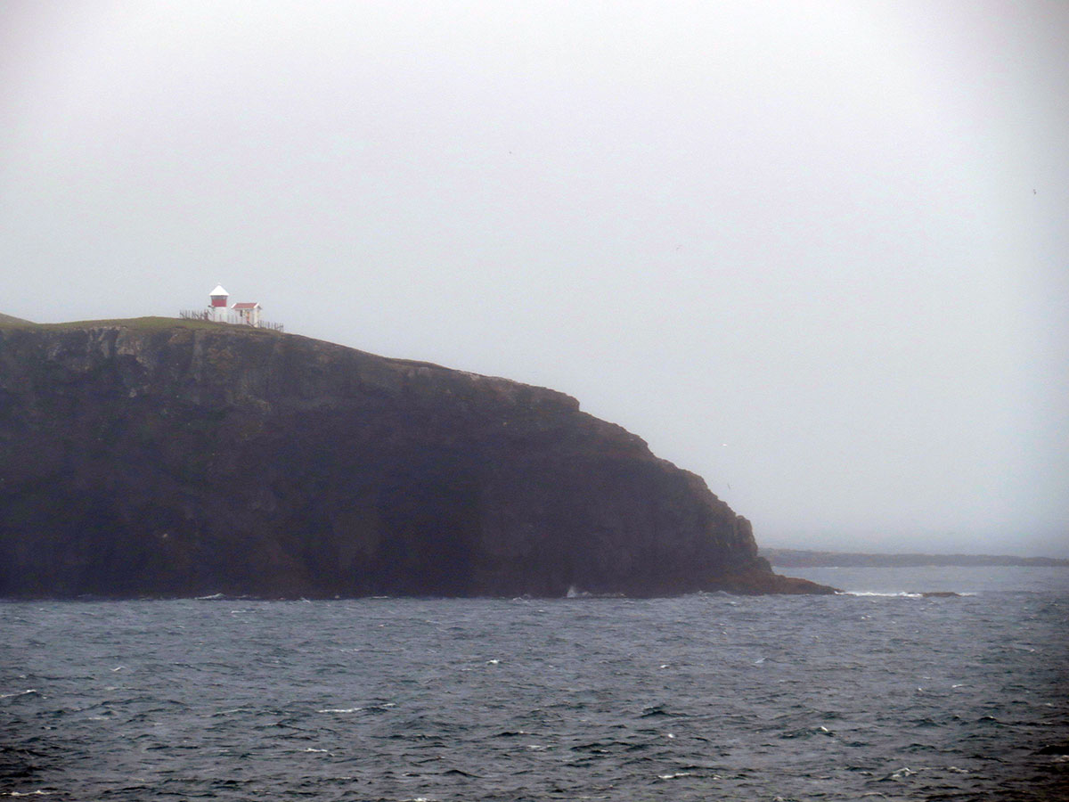
Passing the point enroute Torshavn we spotted this light. Soon after the marine layer started to drop down, consuming the visibility. The sea here was very confused, as the high pressure had been keeping the seas down despite over 30 steady knots of wind during the last 24 hours.

The town of Tórshavn, Faroe Islands. It reminded Ed of towns along the Alaskan coastline as well as villages in Siberia.

If you look carefully you will see water cascading down the face of this cliff. We saw several waterfalls but could hear nothing over the blowing wind.

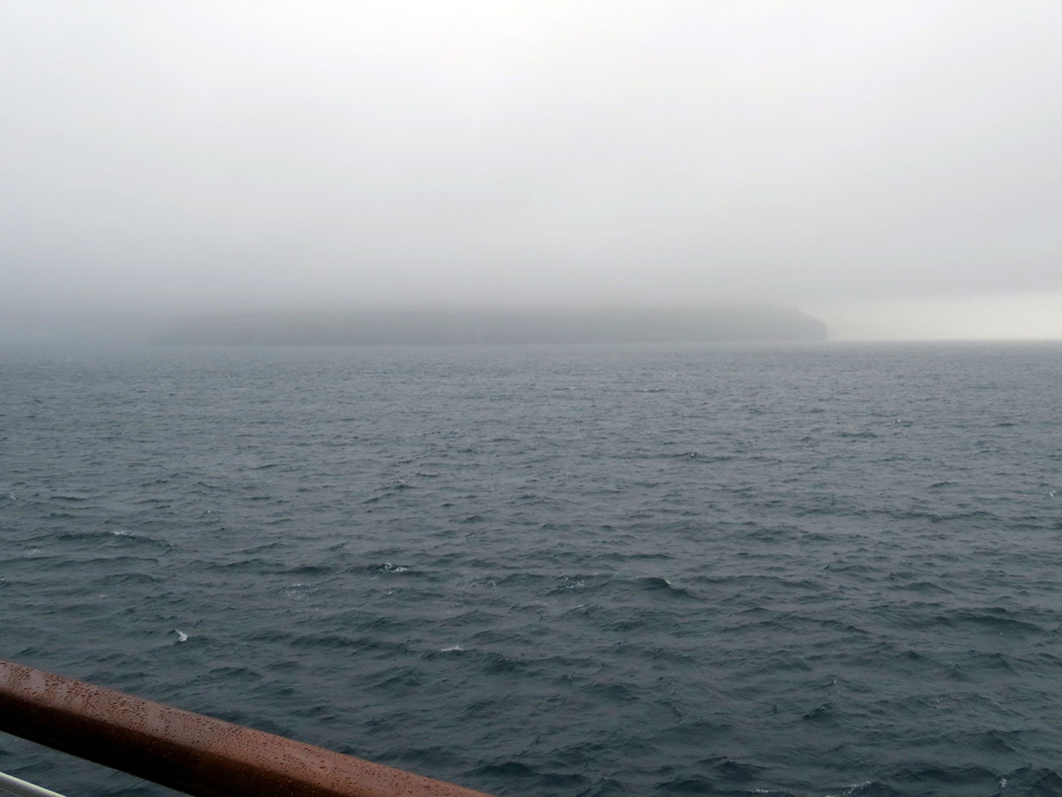
An island about to be lost in the fog as we clear the harbor. The early departure means our transit to New York City will be done at a slightly slower speed of advance (SOA).

Fog is the order of the day at high latitudes in the summer months. Ever present, soft and white, glowing fog. It obscures everything with a blanket of moisture that does not drench – it soaks. We have been making fog signals on and off all day due to the restricted visibility.

Categories: Segment 3 | Comments Off on Day 060: Faroe Islands, Denmark

Day 059: North Sea

Day 059: The Norwegian Sea
Position: N 59º 26′ 12″ W 000º 23′ 10″
Weather: 15ºC wind north 15kts, waves 5-6m
Last Port: Oslo, Norway
Next Port: Tórshavn, Faroe Islands
Status: At Sea

From the Navigator

Early this morning we will round the southern tip of Norway and alter our course to the west north west and commence crossing the North Sea. We will remain on this course for most of the day and later this evening we will pass between the islands of Fair Isle on our port side and the Shetland Islands on our starboard side. Once clear of the islands we will set north westerly courses towards the Faroe Islands.

We crossed into the Norwegian sea today, passed west of the Prime Meridian and north of the 60th parallel. The colors become more muted just as the day stretches to almost 21 hours. What little sun penetrates the dense cloud cover makes the sharp wave crests stand out through the ever-present fog.

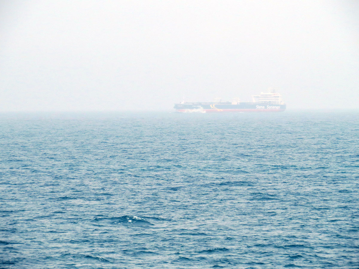
The Arctic Ocean may one day become an important trade route as vessels of all types begin regular transit through the Northwest Passage. Even at a three mile CPA, another vessel met in the fog is cause for interest, if not concern.

Categories: Segment 3 | Comments Off on Day 059: North Sea

Day 058: Oslo, Norway

Day 058: Oslo, Norway
Position: N 59º 52′ 20″ E 010º 43′ 06″
Weather: 22ºC wind north 8kts, waves 1m
Last Port: Copenhagen, Denmark
Next Port: Torshavn, Faroe Islands
Status: In Port

From the Navigator

This morning at 0515 we will make our final approach to Olsofjorden and shortly after we will embark our local pilot at approximately 0530. Once the pilot is on board we will commence our 54 mile transit up the fjord towards Oslo. We will make our final approaches to the berth at approximately 0900 and anticipate being all fast alongside by 1000. Once everyone is back on board, we will let go our mooring lines, thrust off the berth, move astern and thrust the bow round to the port. We will then retrace our tracks out of the fjord. We anticipate being clear of the fjord just after 2200 and once clear we will disembark our pilot and set southwesterly course paralleling the coast of southern Norway for the remainder of the night.

Sailing into the port of Oslo reminded us of sailing around Penobscot Bay in Maine, with the smooth grey rocks coming down to the shore and the not-quite-ocean smell of coastal kelp, mixed with pine forest growing on the rolling post-glacial hills and islands of all sizes. We overheard another passenger say “this place looks just like a typical Norwegian village”. It would be hard for the village to look any different, probably.
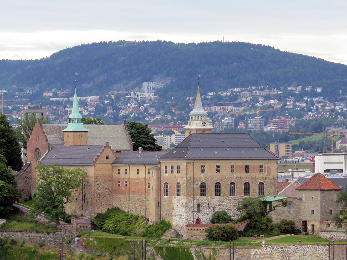
The Akershus Castle, modeled by Disney for their Norway area at EPCOT.
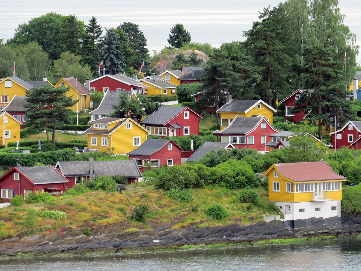
This small island at the north end of Oslofjord seems to be an exclusive community. Almost every house was painted either red or yellow, except two jokers who decided to point their cottages blue.

An excavated Viking ship. The hull has been measured to produce accurate scale models. The models have then been evaluated in a modern tow tank using modern methods to determine stability and seakeeping qualities. Verdict: the Vikings knew what they were doing.

A piece of tapestry from a Viking burial ship found in a traditional burial mound. Many of the fabrics uncovered from the mound are thought to have originated in Turkey and Greece.

The FRAM, exploration and research ship made famous by expeditions to both polar regions.
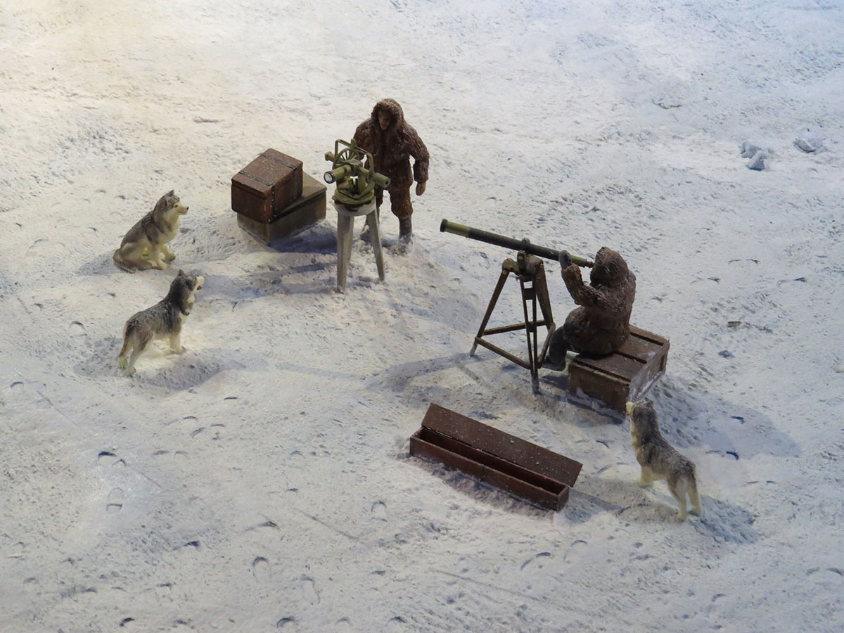
A diorama showing polar researchers at work.
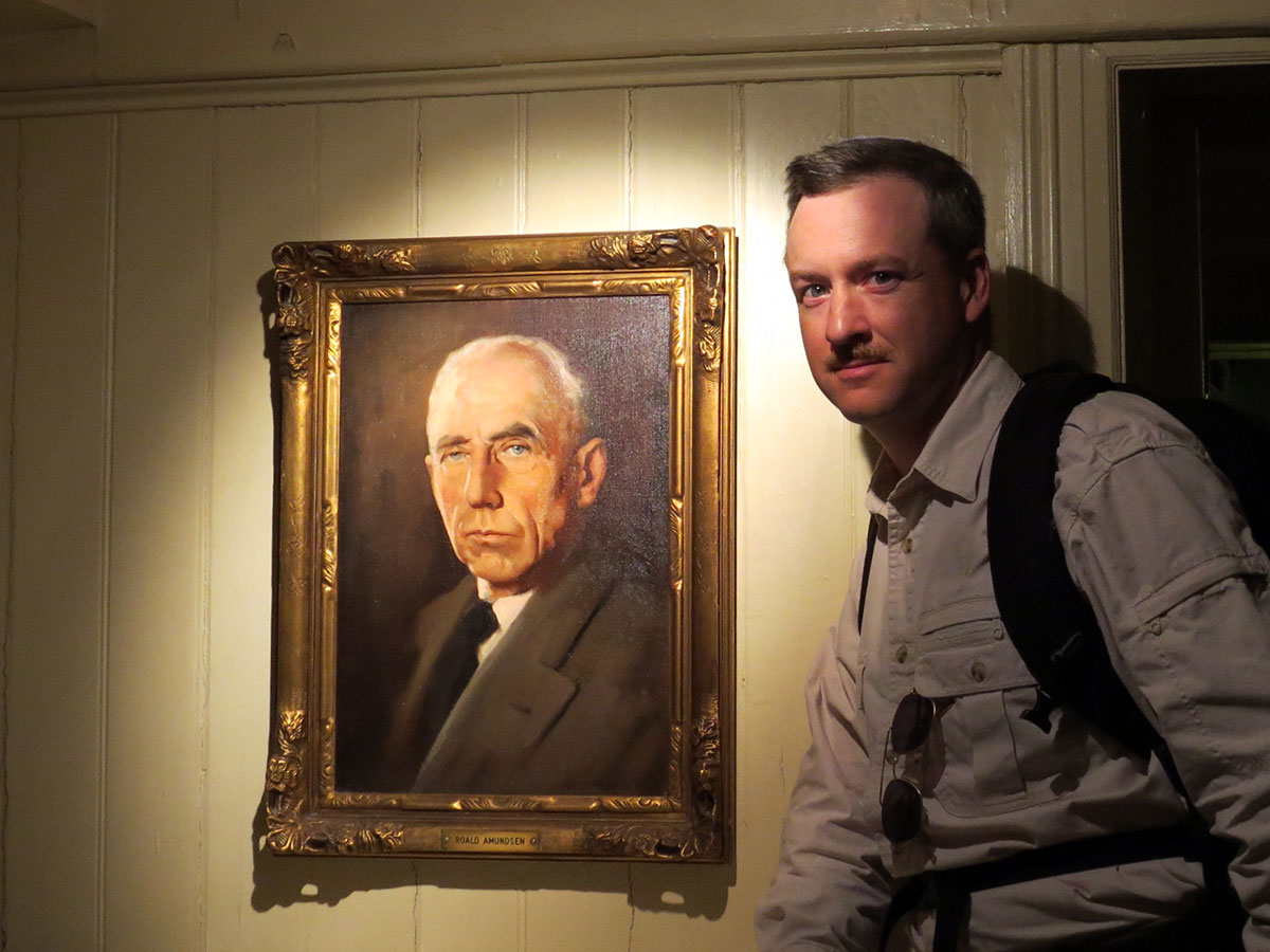
Ed with one of his childhood heroes, Roald Amundsen. Ed even got to touch the handle to Amundsen’s stateroom on board the FRAM. How many nights did Amundsen himself do the same thing before retiring weary after a long day of research and discovery?
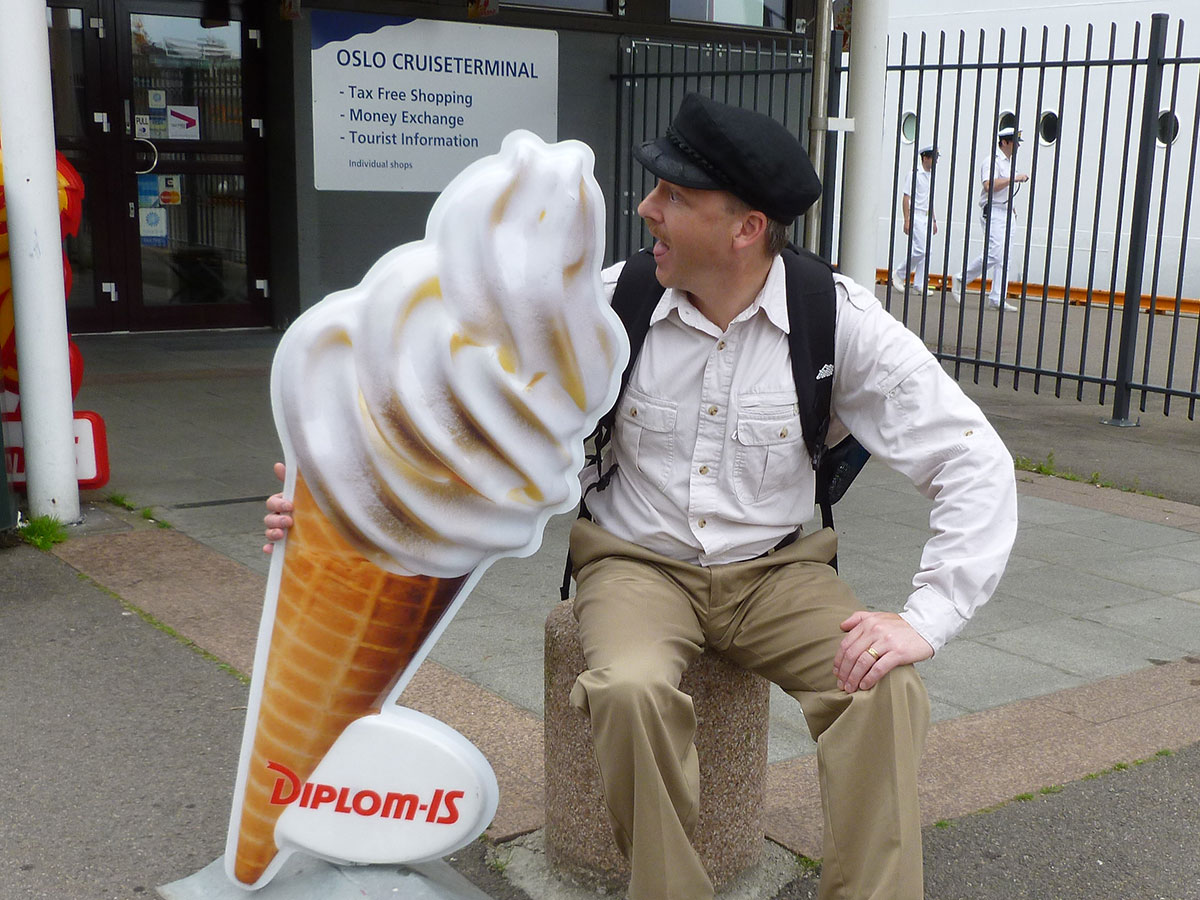
Eddie Icecream, at it again after a long day of sightseeing and discovery.

Categories: Segment 3 | Comments Off on Day 058: Oslo, Norway

Day 057: Copenhagen, Denmark

Day 057: Copenhagen, Denmark
Position: N 55º 40′ 24″ E 012º 34′ 08″
Weather: 22ºC wind north 15kts, waves 1-2m
Last Port: Rotterdam, The Netherlands
Next Port: Oslo, Norway
Status: In Port

From the Navigator

This morning we will board our local pilot at 0545 before transitting the narrow strait between Denmark on our starboard side and Sweden on our port side. Once clear we will continue south towards Copenhagen. We will make our final approach at 0715 and enter through the breakwater before maneuvering alongside our berth. We anticipate being alongside our berth by 0800. Once everyone is back onboard we will let go our lines, thrust off the berth and proceed out of the harbor and retrace our courses north, passing through the narrow strait and disembarking our pilot at 1910. Once the pilot has disembarked we will continue north up Kattegat towards the coast of Norway.

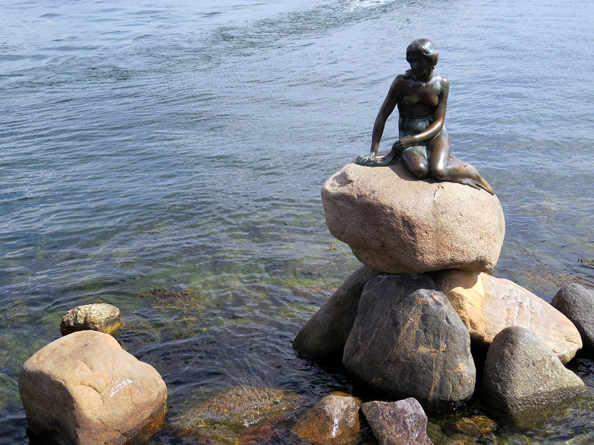
The words “let me tell you a story” have been described as the four most seductive words in the English language. Today we are in the home town of Hans Christian Anderson, a legend in the history of storytelling. We saw a statue cast in tribute to his story “The Little Mermaid” and eventually saw a statue of Hans himself.

The Little Mermaid faces the land but looks over her shoulder at the sea she left behind.

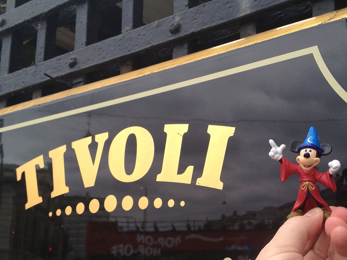
Later in the day we visited Trivoli, an amusement park in the heart of Copenhagen. We were told Walt Disney visited this place not once but three times, gathering ideas to employ for his first theme park. We can see the familiar successful formula at work here, but after so much time there is no way to tell whether Trivoli is still an original or has been inspired in turn by the success of Disneyland.

Mickey visits the site of his roots in the heart of a city famous for its colorful storytellers.

Categories: Segment 3 | Comments Off on Day 057: Copenhagen, Denmark

Day 056: North Sea

Day 056: The North Sea
Position: N 57º 51′ 11″ E 10º 15′ 43″
Weather: 14ºC wind 35kts, waves 4m
Last Port: Rotterdam, The Netherlands
Next Port: Copenhagen, Denmark
Status: Underway

From the Navigator

Throughout this morning we will continue to set various north north easterly course up through the North Sea. Later today will enter Skagerrak paralleling the coast of Denmark on our starboard side and at around 2300 we will alter course to the south south east as we round Skagen on the most northerly point of Denmark and proceed down Kattegat towards Copenhagen.

Welcome to the North Sea in the summertime. We have an full day transit from Rotterdam over top of northern Denmark in the Skagerrak strait enroute Copenhagen.

This picture is from the morning, looking to port in the north sea. The skies cleared up a bit by the afternoon.

There is plenty of commercial traffic making the journey between the North Sea and the Baltic Sea.

Heads up folks – the next two days we’ll be passing back north of 60º North, which means the geosynchronous satellites all sit very close to the horizon. Sometimes at these high latitudes the antenna just can’t keep up with the roll because it is tracking low. Also a problem is the ship’s superstructure, stacks and masts blocking the signal, not to mention atmospheric interference. We’ll keep trying.

Categories: Segment 3 | Comments Off on Day 056: North Sea

Day 055: Rotterdam, The Netherlands

Day 055: Rotterdam, The Netherlands
Position: N 52º 21′ 38″  E 004º 53′ 12″
Weather: ºC wind kts, waves m
Last Port: Dover, United Kingdom
Next Port: Copenhagen, Denmark
Status: In Port

From the Navigator

We will make our final approach to the pilot boarding ground at 0300 and plan to board our pilot at 0315. Once the pilot is onboard we will navigate our way through the narrow buoyed channel before starting our long transit up the narrow river to our berth. We will swing the ship just before our berth and back into alongside. We anticipate being alongside by 0700. Once everyone has returned onboard we will let go our lines and thrust off the berth and retrace our courses back out of the river. Once clear we will disembark our local pilot at approximately 2100 before setting various north north easterly course following the traffic lanes north out into the North Sea.

Tour Overview

Your tour begins as you board your motorcoach for a scenic drive to Amsterdam. En route, you’ll pass lowland countryside dotted with farms, canals, flower fields and windmills, the perfect symbol of Holland’s past. Keep your camera ready, as photo opportunities present themselves at every turn.

Upon arriving in Amsterdam, you’ll embark on a narrated tour of this city of towers and spires. You’ll drive past the landmark Dam Square and the Baroque Royal Palace, and make your way to Nieuwe Kerk (“New Church”), a 15th-century, late-Gothic cathedral built on an artificial island. Today, the “New Church” is the site of royal coronations and the Central Railway Station, a bustling building with imposing twin towers.

Also on your itinerary is Munttoren (“Mint Tower”). Built on the site of the 15th-century Regulierspoort, a city gate burned down in 1618, the tower received its name when the national mint was transferred here during the French Occupation.

You’ll also witness the Bloemenmarkt floating flower market and the graceful Weeper’s Tower, the site where wives came to say goodbye to their husbands as they embarked on long voyages. A bronze plaque commemorates the English navigator, Henry Hudson, who sailed from here in 1609.

Next, take to the waterways on a narrated boat tour. With more than 60 miles of waterways, Amsterdam boasts more canals than Venice. You’ll board your glass-domed motor launch and take in the fine old houses of the city’s enterprising merchants, picturesque houseboats, and the secret annex where Anne Frank and her family hid from the Nazis.

After your leisurely cruise, you’ll have approximately two hours for lunch/dinner on your own and shopping before your return drive back to the pier in Rotterdam.

Categories: Segment 3 | Comments Off on Day 055: Rotterdam, The Netherlands

Day 054: Dover, England

Day 054: Dover, United Kingdom
Position: N 51º 06′ 44″  E 001º 19′ 21″

Weather: ºC wind kts, waves m
Last Port: Le Havre, France
Next Port: Rotterdam, The Netherlands
Status: In Port

From the Navigator

Once everyone is back onboard we will let go our mooring lines and thrust off our berth and move ahead exiting the harbor through the breakwaters. Once clear of the breakwaters we will disembark our local pilot and set south easterly courses across the busy traffic lanes and joining the east bound lane. Once in the lane we will set various easterly courses overnight towards Rotterdam.

Categories: Segment 2, Segment 3 | Tags: , , | Comments Off on Day 054: Dover, England

Day 053: Normandy, France

Day 053: Le Havre, France (for Honfleur)
Position: N 49º 28′ 51″  E 000º 06′ 27″

Weather: ºC wind kts, waves m
Last Port: Greenock, Scotland
Next Port: Dover, United Kingdom
Status: In Port

From the Navigator

Early this morning we will pass north of Cherbourg and alter our course to the ESE through the Baie de la Seine towards our destination of Le Havre. We will make our final approaches to Le Havre at 0515, and will board our local pilot shortly after at around 0530. Orce the pilot is on board, we will proceed into the harbor through the buoyed channel up to our berth. We anticipate all fast alongside by 0700. When all our pre-departure checks are complete, we will let go our mooring lines, thrust off the berth and retrace our courses out of the Baie de la Seine before setting north easterly courses through the busy traffic lanes of the English Channel towards Dover.

Tour Overview

Your tour begins as you board your motorcoach for a scenic drive through the Norman countryside, across the Tancarville Bridge to Honfleur.

Upon arriving, you’ll embark on a guided walking tour of this picturesque fishing port. Once the base for France’s 17th-century voyages of colonization, Honfleur was also the birthplace of the Impressionist and Romantic art movements.

During your guided walk, you’ll take in the Vieux Bassin, the old dock that dates back to 1681, and pass the Lieutenance, an imposing building at one end of the old dock that was the home of the King’s Lieutenant.

Also on your itinerary is St. Catherine’s Church, a 15th-century church built by shipwrights. Today, it’s the largest wooden church with a separate bell-tower in France. The bell-tower, also largely built of wood, dates from the end of the 15th century and is now a museum of religious art.

The next part of the tour is on your own. You’re free to explore this charming town, replete with narrow cobbled streets, art galleries, sidewalk caf�s and traditional craft shops.

Your tour concludes with a drive across the new Normandy Bridge spanning the Seine estuary as you make your way back to the pier.

Categories: Segment 2 | Tags: , | Comments Off on Day 053: Normandy, France

Day 052: Celtic Sea

Day 052: Celtic Sea, The English Channel
Position: N º ‘ ”  E º ‘ ”
Weather: ºC wind kts, waves m
Last Port: Greenock, Scotland
Next Port: Le Havre, France
Status: Underway

From the Navigator
Throughout this morning we will maintain southerly courses through the Irish Sea, proceeding southbound past Wales enroute to Lands End. Early this afternoon, we will round Lands End and enter the English Channel. We will set easterly course for the remainder of the day as we transit the English Channel.

Categories: Segment 2 | Comments Off on Day 052: Celtic Sea

Day 049: Cork, Ireland

Day 049: Cork, Ireland

Categories: Segment 2 | Tags: , , | Comments Off on Day 049: Cork, Ireland