Day 061: The Atlantic Ocean
Position: N 57º 08′ 26″ W 019º 25′ 17″
Weather: 12ºC wind southwest 35kts, waves 8m
Last Port: Torshavn, Faroe Islands
Next Port: New York City, USA
Status: At Sea
From the Navigator
Throughout today we will maintain a south south westerly course out into the North Atlantic Ocean. This evening we will alter to a south westerly course as we continue our crossing. The Atlantic Ocean is the second largest of the world’s oceans and covers a total area of about 106,400,000 square kilometers and covers approximately 20% of the earth’s surface.
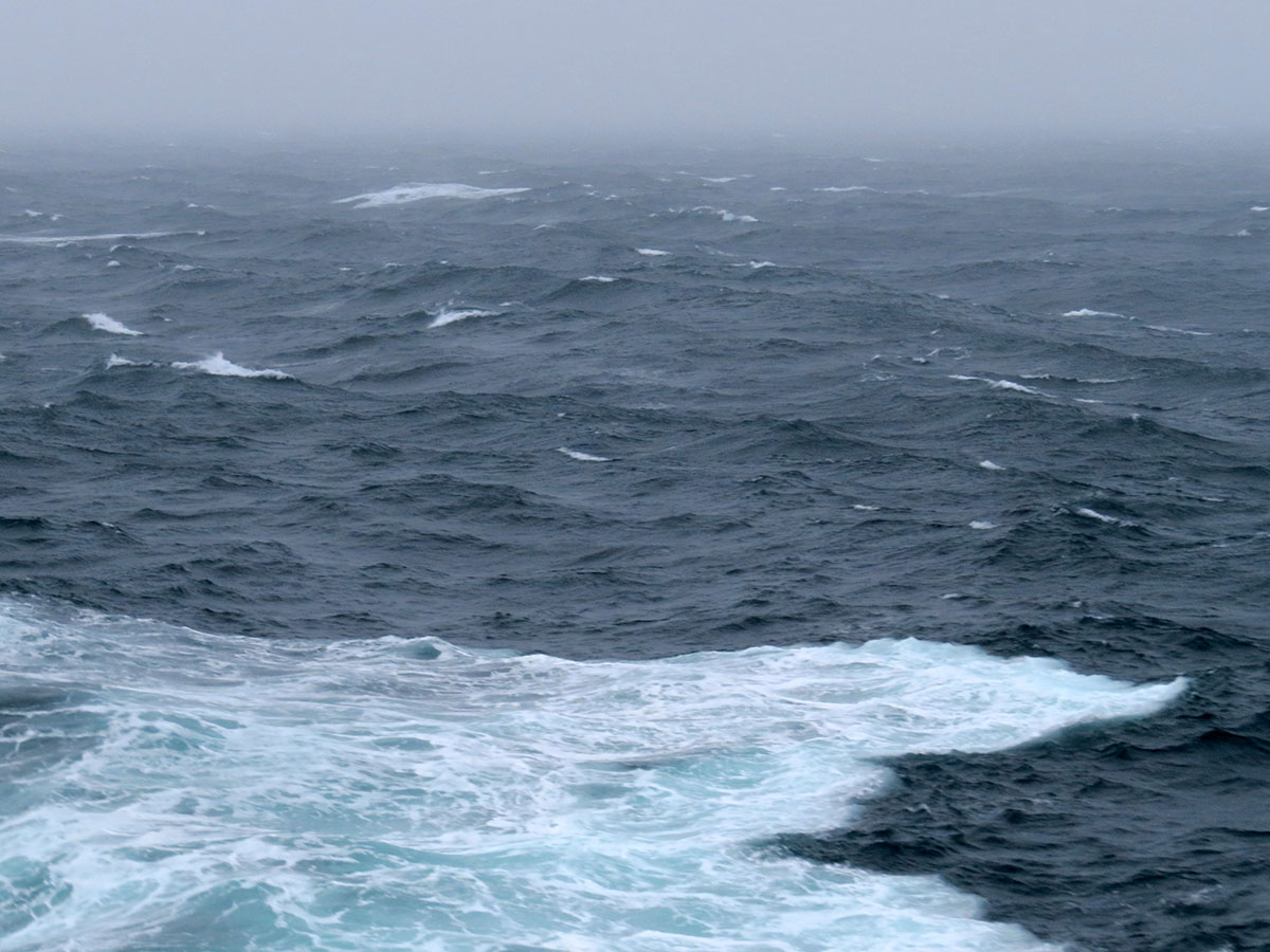
 The waves had really picked up by the afternoon. Salt spray was everywhere, kicked up by the ship’s movement through the waves. You know the weather is getting rough when the wave crests are blown clear. Despite seas on the beam the ship is riding fairly well tonight.
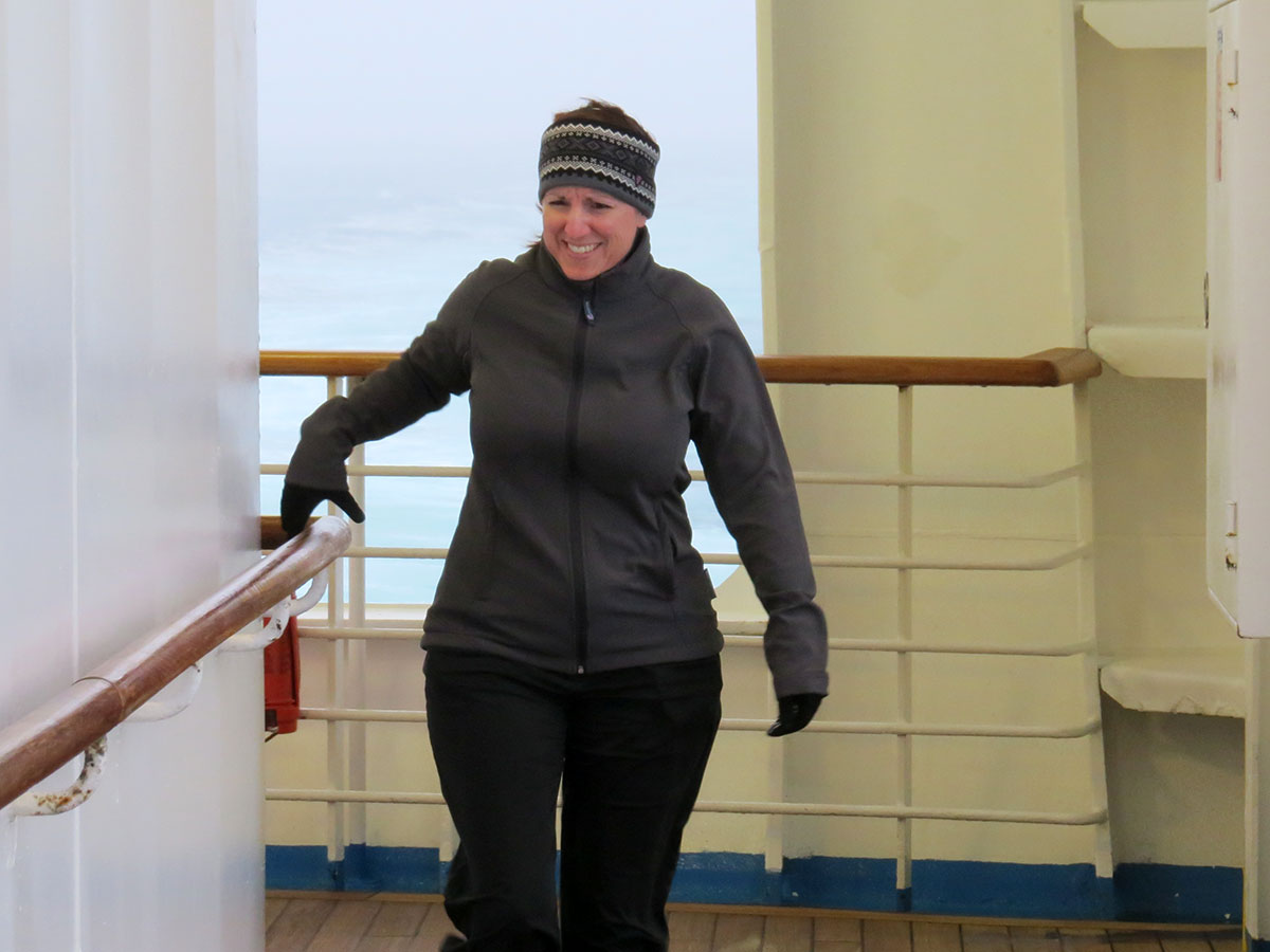
 Of course we had to take a jaunt about the weather decks. The crew had blocked off the exterior doors on the dry side and left those on the wet side open. Not sure the reasoning behind that idea, since the wet (open) side seemed much more dangerous.
 The age-old adage is “one hand for yourself, one hand for the ship”. Michelle thoroughly enjoyed herself watching the waves, hearing the pounding surf, and trying to stay upright.
 Like trying to photograph a rainbow getting a good picture of waves at sea is a challenge. This picture was taken looking directly off the port beam, on a 270º relative bearing. Normally waves come in sets of threes with a lull between. On the right side of this picture you can visualize two sets of three coming in succession. Ed used to take advantage of this phenomenon while trying to land a helicopter on a pitching deck. Always a good time!


